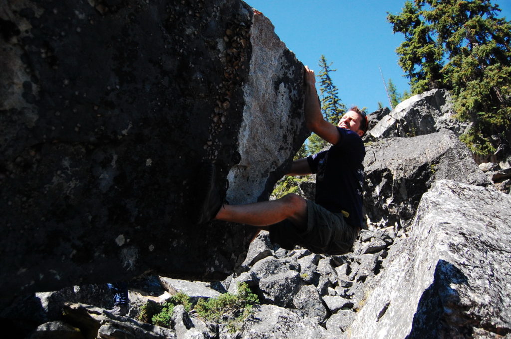
The Boulderfields is a region near Myra-Bellevue Provincial Park that literally feels like a mountain exploded and resulted in a haphazard assortment of jagged rock chunks littering the mountainside. What results is a feast of exploring opportunities – routes that loop over and under massive rock slabs, tunnels, lookout rocks, and caves. No wonder the area is one of the premier sites enjoyed by the rock climbing community of Kelowna. None of the rocks are very tall which makes it a perfect area for bouldering (duh…).

Directions To Trailhead:
Driving to the boulder-fields is a tiny bit sketchy but is still fully possible in a small vehicle. Start by taking Gillard Forest Service Road out of Kettle Valley in southern Kelowna. This is a well maintained unpaved road that meanders up the mountainside and meets with the KVR trail just shy of 9km from the original turnoff at Upper Mission Dr. Here there is a sign pointing to turn left on to the KVR trail (watch for cyclists). This is where it gets a bit sketchy. Drive along the narrow KVR trail about 2km to a left turn which continues downhill to the Boulderfields parking area.


Distance from downtown Kelowna to Trailhead: 45 mins
Walking time: 1-3 hours
Trail Length: 2km round trip
Elevation gain: 80m
GPS: Not necessary
Clear trail: some places, but mostly a free-for-all