Mara Fire Lookout Tower

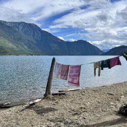
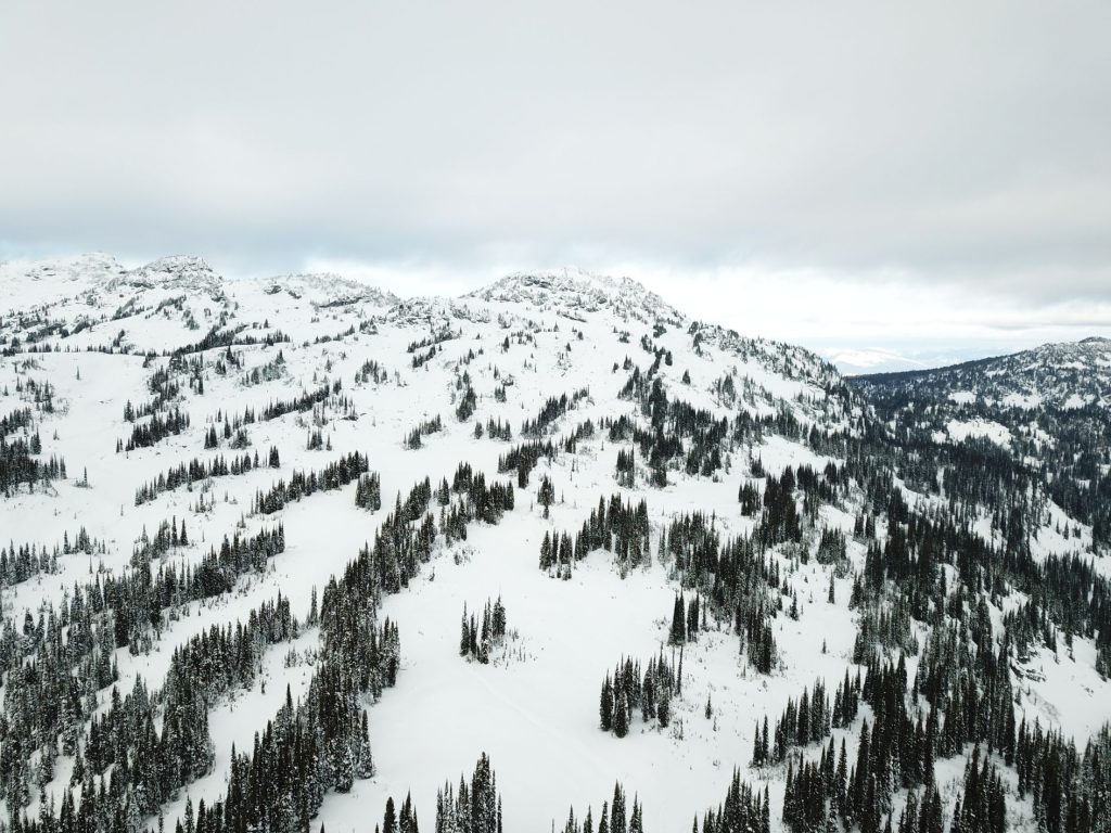
Mara fire lookout is on the summit of the highest mountain of the Hunter Range (Morton Peak). This is the range in the North Okanagan sandwiched between Enderby, Mara Lake and Sicamous to the west, and Mabel Lake to the east. To add some confusion, there is also a Mara Mountain (without a fire lookout) just to the south.

Typical landscape of the Hunter Range

Access:

There is ATV road access from both the north and south. Hikers can park on Owl Head FSR to access from the north or drive up 3 Valley Mabel / Mara Lookout FSR as far as possible for access from the south.

(adsbygoogle = window.adsbygoogle || []).push({});

https://youtu.be/tsoemgGOgYk

Winter access:

The whole area is a very popular for snowmobiling but in the shoulder seasons, it is possible to access for ski touring. The bowls below the lookout to the south are excellent for ski touring in November/December before access becomes too difficult.

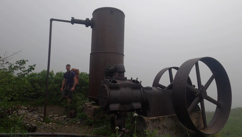
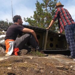
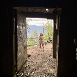
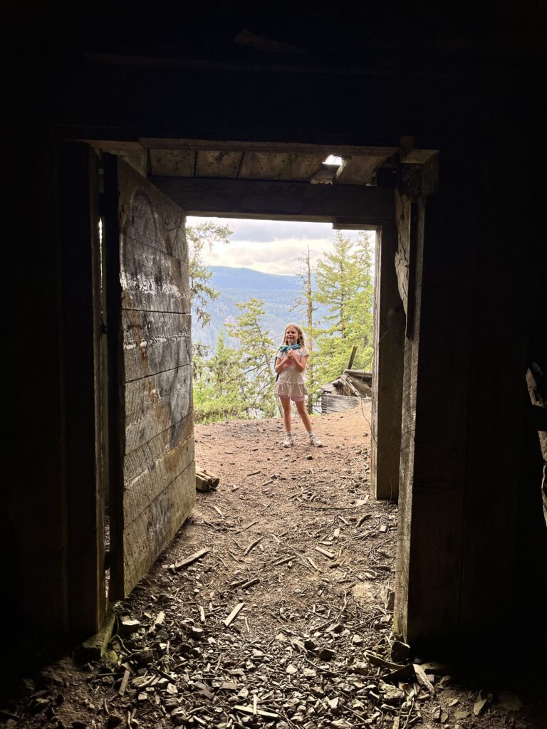
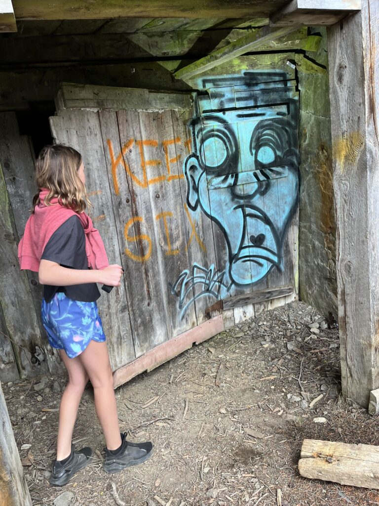
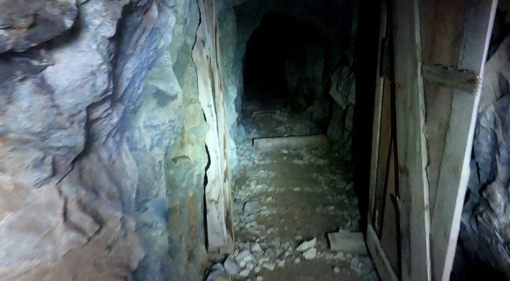
The fire lookout was first operational in 1923 and the structure was replaced in 1950. Active fire monitoring was in effect from the lookout until 1998. The BC government provided funds for restoration in 2012 but it has slowly deteriorated in the years since.

Snow-crusted fire lookout

Yak Peak Hike

Yak is one of the iconic peaks of the Coquihalla Summits group. It's impossible to drive over the pass and not marvel at the huge granite slab that makes up the south slope.

The granite slap that is Yak as viewed driving over the Coquihalla Pass

Scrambling up the slab

The hike is a bit of a grind but in good weather, it is not difficult or technical. A bit of rain or snow would change this as there could be some slippery spots. Regardless, this is a 4-6 hour hike that can be enjoyed by the whole family.

https://youtu.be/QyU9YH6dmxk

(adsbygoogle = window.adsbygoogle || []).push({});

There is no parking at the immediate trailhead and therefore 600-800m of highway shoulder walking is necessary. The closest parking is a highway pull-off below Yak Peak. To park near a washroom, choose the next exit (Zopkios Brake Check).

False Summit

Incredible views to the north including the Anderson River group and Alpaca, Vicuna + Guanaco peaks

Alaskan adventures outside Anchorage

From time to time there are work opportunities in Alaska and I've gotten in the habit of adding on a day or two to explore the surroundings outside Anchorage. The options are numerous and often a choice between amazing and incredible.

Crow Pass

Camping at Crow Pass

This year was my first opportunity to visit Alaska in the summer so I made sure to pack my camping gear and stay and extra night. I settled a hike up to Crow Pass which didn't disappoint.

Glaciers above Crow Pass

https://youtu.be/TRocvfWwNgA

(adsbygoogle = window.adsbygoogle || []).push({});

Exploring the Monarch Mine on the way up

(adsbygoogle = window.adsbygoogle || []).push({});

Looking back down the valley from Crow Pass

The hike up to the pass is quite interesting as you rise out of the valley, there are ruins of the abandoned Monarch Mine. There are many daytrippers up to the pass but very few choose to spend the night. A lucky few can secure the cabin that sits a picturesque spot near the glacier fed, Crystal Lake.

Crow Peak views

Without a cabin booking, it is still possible to back-country camp and there are a few bear caches set up near the hut.

Camping at and exploring the pass is incredible but there time for more. I decided to head up Crow Peak which is not a straightforward endeavor. It ended up being quite a bit more arduous than getting up to the pass itself but rewarded spectacular views.

See cabin left of Crystal Lake

Harding Icefield

Incredible views over Harding Icefield

Start of hike - Exit Glacier

Another trip, I drove down to Seward and hiked up past Exit Glacier to the Harding Icefield. If glaciers weren't amazing enough, the source of the glaciers is absolutely outstanding and breathtaking.

Hiking through melted snowpack

https://youtu.be/5t6WXW3q2_4

The Harding Glacier route is within Kenai Fjords National Park and is quite a popular trail. The hike up to the icefield takes 3-4 hours and there are endless opportunities to explore from there.

Harding Icefield

Difficult to take in the majesty of Harding Icefield

Natural Hot Springs of BC

BC has several resorts built up around natural hot springs around the province but there are also a bunch hidden in the way in the forest. Some are quite accessible and visited by many while others require some serious logistical planning and journey to reach. A soak in any of them is an unbelievable and unforgettable experience.

(adsbygoogle = window.adsbygoogle || []).push({});

Ram Creek Natural Hot Springs

We've debated visiting the Ram Creek springs for many years but pushed it off as there is a fierce debate on whether or not they are warm or hot springs. Luke-warm water that isn't hot enough for a soak hardly makes the effort of driving up a long bumpy forestry road combined with a hike worth it. Never the less, we finally went for it and were not disappointed.

Main pool @ Ram Creek

The first thing we did was feel the water in the top-most pool and to our shock and delight it was quite warm... hot even! There was no question at all about taking the plunge. The ambient water temperature this October morning was about 5°C which may have had something to do with it.

Ram Creek from Above

https://youtu.be/k4uldj9BuHU

Secluded pools of Ram Creek

Some locals that joined us later on in the soak mentioned that the springs seemed to be getting warmer. That's always a good sign! The pools are fed from a warm river that runs along side. There are hiking trails heading further upstream which we didn't have a chance to explore but getting closer to the source may reveal even hotter water.

(adsbygoogle = window.adsbygoogle || []).push({});

Mostly flat hike in to Ram Creek HS

Fairmont Falls Hot Springs

These hot springs look a lot like natural hot springs but they are really just run-off from the resort pools above. Having said that and at the right angle the whole area looks very picturesque.

Looks pretty amazing at the right angle!!

The water contains enough minerals that the river and pools are coated in calcium deposits. Seeing the naturally formed layers and entombed sticks and rocks makes the visit worthwhile even if dipping in the pools is not for everyone.

(adsbygoogle = window.adsbygoogle || []).push({});

On closer inspection, the falls look a bit suspicious

Since the water temperature is dependent on the pools above, they are warm at best. On a cold day, there is some comfort sitting directly under the hoterfall but in general, most of the pools are not comfortable on a cold day.

Overall, this spot down the canyon from from Fairmont resort is definitely worth a visit even if the naturalness of the pools is in question.

The pools themselves are built with rocks surrounding and then encased in limestone deposits

Camping at Howser Rec

Howser is in a remote location of the Kootenays on the banks of Duncan Lake. There aren't any facilities or services, save for an outhouse, but if the weather cooperates, it can't be beat for a picturesque campsite.

(adsbygoogle = window.adsbygoogle || []).push({});

DC3 crash on Okanagan Mountain

On Dec. 22, 1950 a flight from Vancouver to Penticton crashed on Okanagan Mountain. The pilot and co-pilot were killed because of the crash and the remaining 15 passengers and stewardess survived several chilly days in the wilderness awaiting rescue. There are many more details to the story and it is worth diving in further. For example, here.

Hiking into the crash site

https://youtu.be/5cgtRPZYTLg

A hike into the crash site is quite the adventure. It requires a substantial amount of bushwhacking and this endeavor continues to get more difficult every year as the underbrush and trees fill in (a fire in 2003 made the journey easier for a time).

Much of the wreckage was removed after the crash for salvage purposes but several large pieces still remain. The main site contains a wing and engine and has been explored by quite a few but rumour has it that the tail section remains undiscovered not terribly far from the main area.

Exploring the crash site

French Mine – upper and lower

The abandoned French Mine near Hedley, BC is an intricate network of tunnels that apparently spans hundreds of kilometers. It is located in the same mountain-side as some other popular mines - Nickle Plate and Mascot. The mine entrances are well known and many explorers check them out on weekends.

French Mine lower entrance

There are many preserved relics around the mine entrances including a concentrator, ore shoot, and various staircases up the mountain. A gust of chilly wind greets you from the lower entrance (one indication that the air is quite good in the mine but this may not be the case deeper inside). The upper entrance is the most popular/photogenic as it features a large cavern with many holes.

It is quite easy to get lost in the tunnels as there are many branches and levels. For the dedicated explorer it is possible to navigate (follow the red arrows!) from the upper entrance to the lower.

French Mine Upper Entrance

The tunnels are full of all kinds of discarded mining equipment like barrels, rail, ore shoots, and wires. There are old wooden ladders in various sections and open caverns in others.

Access:

Both the lower and upper entrances to French Mine are accessed via Hedley Nickle Plate Rd. Both are very rough and only passible by ATV or serious 4x4 offroaders. Most tend to walk in from either road.

Lower entrance door

Exploring the vast network of tunnels from the lower entrance

It is also possible to 'hike' between the lower and upper portions. To this, follow the path up from beside the lower entrance (above/behind the concentrator) and follow the old wooden staircase. It is quite steep and soon you will reach the 'middle' entrance to the French Mines. Walk along the cliff-face to the left and the upper section will be around the corner. This should only be attempted by experienced scramblers as it is quite steep with some points of exposure along the cliff-face. The 'safe' option may be to try and find the passage inside the mine between the upper and lower sections (maybe the middle?).

Door to the middle entrance

(adsbygoogle = window.adsbygoogle || []).push({});

Looking down at one of the ceiling holes of the upper entrance

The exterior and cliffside hike between lower and upper entrances