**note: Mount Nkwala and surrounding trails are on the lands of the Penticton Indian Band. Signs along the trail indicate that respectful/recreational non-motorized travel is permitted (hiking/biking)**
Directions to Trailhead
There is no straightforward way to explain how to get to a trailhead for Nkwala because there isn’t any official trailhead or marked/signed trails. There are, however, numerous trails and access points and here are the top 4 in decreasing order of popularity. One access method is to take Sage Mesa Dr off of HWY 97 (one of the first exits north of Penticton). Turn left at the T junction and park near the entrance to Pine Hills Golf Club. Just through the gate is the KVR trail and just a bit further there is an ATV trail leading towards to Nkwala. Alternatively, turn right at the T junction and park near some Canada Post boxes. There is a trail that cuts up to the KVR trail. Walk along the KVR for 900m or so until you round a bend for a view towards Summerland and then take a trail up the mountain.
Access option three is to take W Bench Hills Rd (1st exit off HWY 97 north side of Penticton). Turn onto Bartlett Dr then Forsyth Dr. There is parking and trail access at the end of Forsyth Dr. This gets you smack dab into a network of downhill mountain bike trails and it takes some wandering to get onto the main trail up the hill.
Last option is to continue up the unpaved road at the corner of Bartlett Dr. and Forsyth Dr. It turns into Max Lake Rd which eventually becomes the access road for the comms towers on the top of Nkwala. Drive as far as possible and then continue walking up the road.
Hiking Options / Trail Features
The most popular way to hike Nkwala is to take one of the trails up the east side and after reaching the summit, return along the access road which wraps around the mountain. There are numerous trails off the access road to link back to the start. None of this is easy without good maps, GPS or hiking trail app.


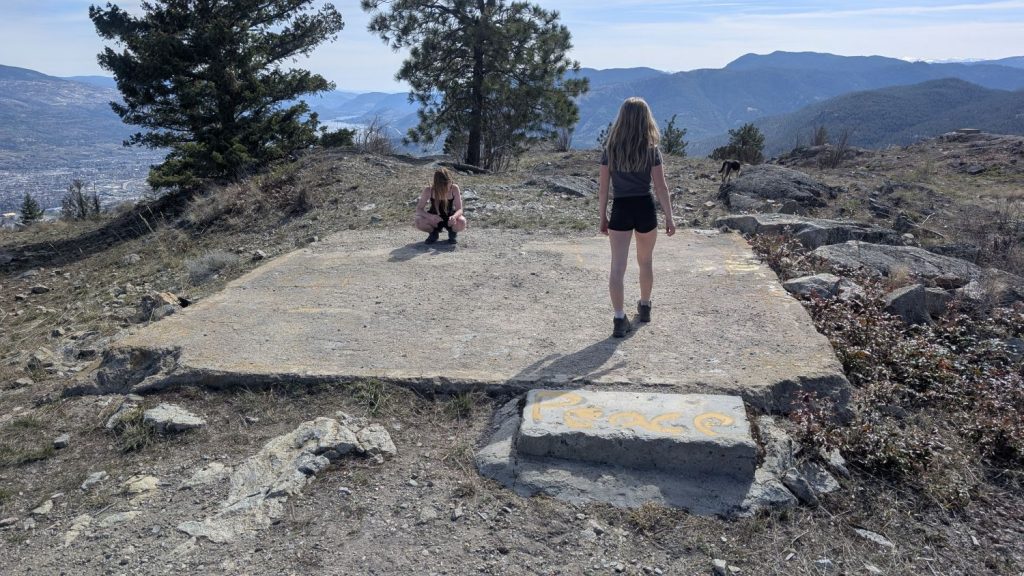
Mount Nkwala isn’t the most straightforward hike or the most satisfying. It is relatively easy to get lost and the summit is largely taken up by communication towers. There are lovely views to the south over Penticton and beyond but if choosing only one hike in the Okanagan, this wouldn’t be my first recommendation.
Separatist Mountain
Locals enjoy hiking the hill behind Mt. Nkwala called Separatist Mountain. This can be done as an offshoot of the Nkwala hike or as a separate (hehe) hike best accessed by parking along Max Lake Rd. See maps for more detail.

Pentiction to Trailhead: 10 mins
Trail Return time: 2-4 hours depending on route
Trail Length: 8-10 km depending on route
Elevation gain: approximately 600m up
GPS: A pretty good idea
Easy to Stay on trail: Not really. There are tons of crisscrossing trails.